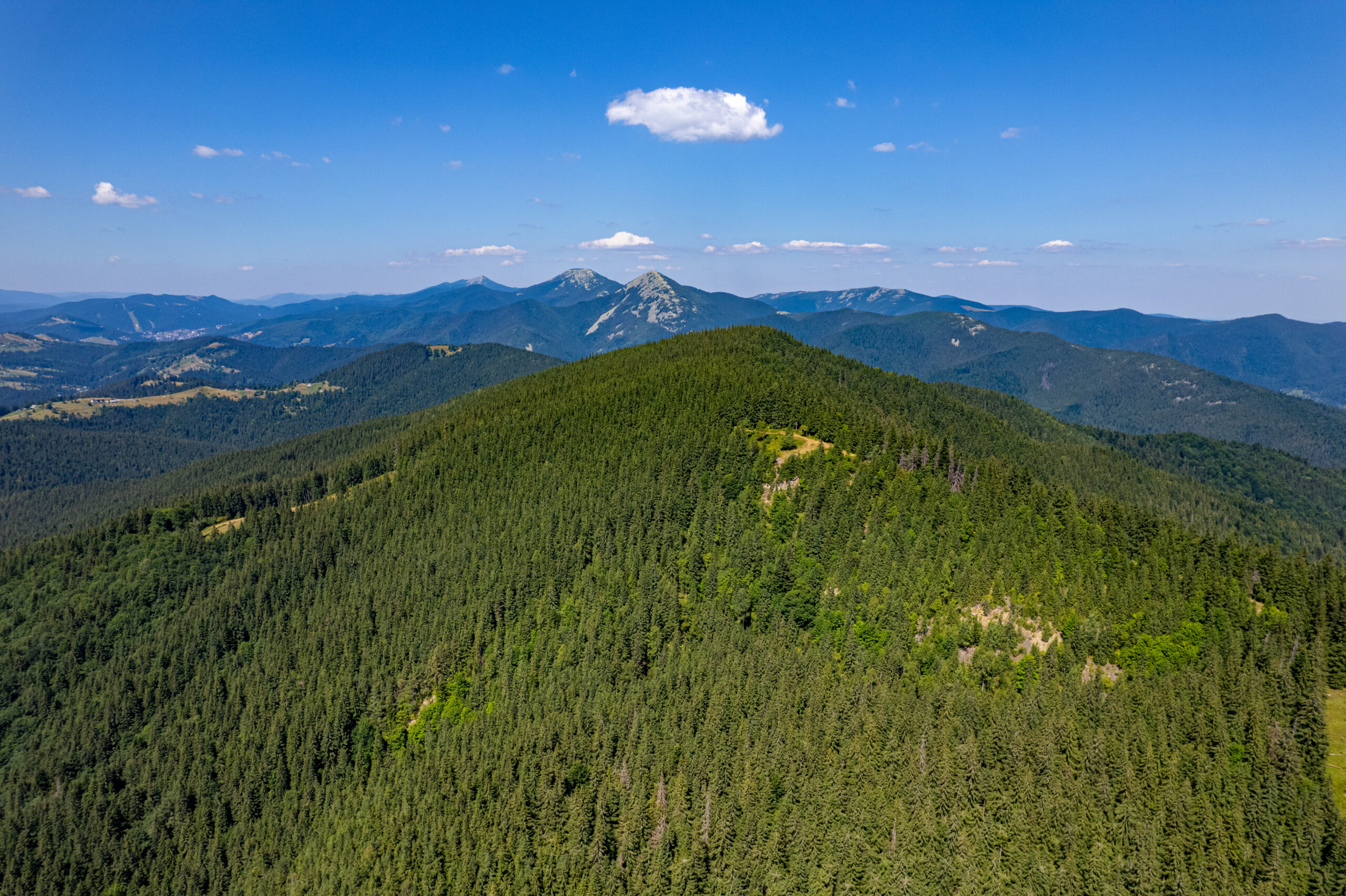


Magura is one of those names that appears in many places across the Ukrainian Carpathians. In local Carpathian dialects, the word was traditionally used to describe wooded hills and mountain summits. According to another theory, the name is of Romanian origin and means a hill, elevation, or mound.
Our Magura — Nadvirna Magura — lies in the Gorgany mountain range, within the Carpathian National Nature Park, between Vorokhta and Tatariv. Its summit reaches 1,288 metres above sea level.
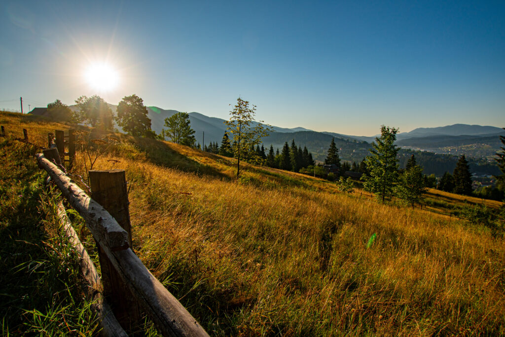
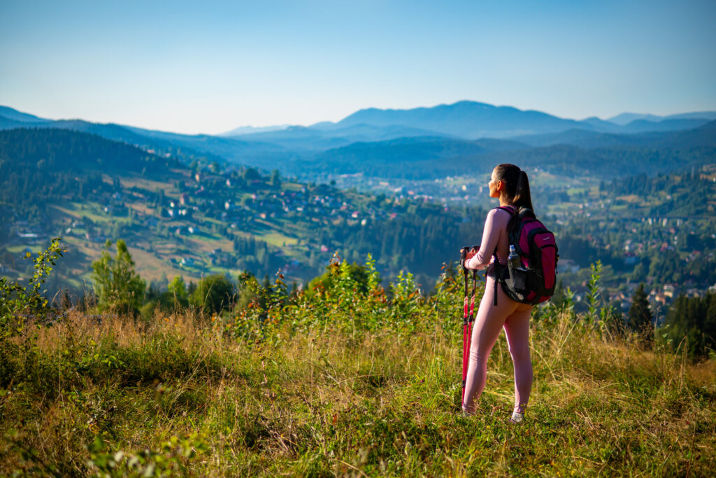
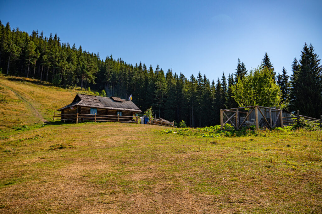
This is not a mountain you climb simply to reach a point on the map. Magura is about the journey itself: quiet Carpathian forests, steep sections of trail, the gradual ascent to the ridge, and panoramic views that begin to open up long before you reach the summit.
The Summit Is Not the Only Highlight
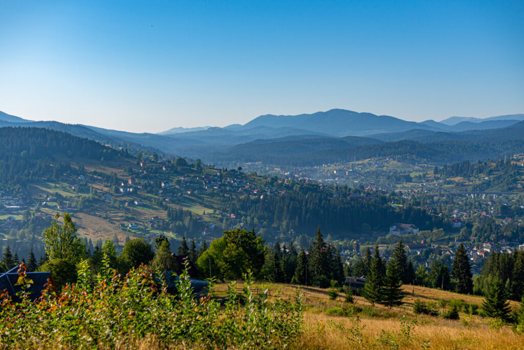
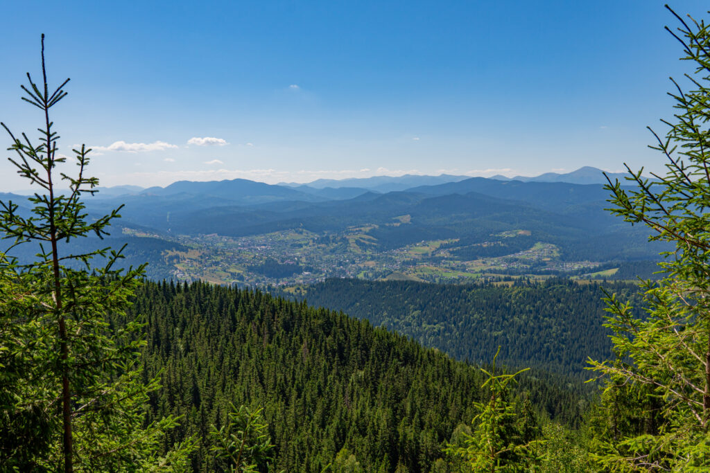
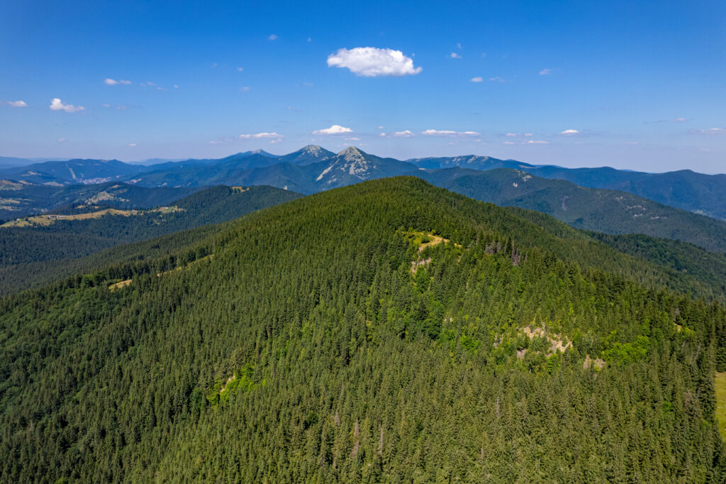
One of Magura’s most distinctive features is that some of its finest views open up from the ridge and panoramic sections of the trail. From here, you can see Mount Kukul, the Svydovets range, the Chornohora range, and Vorokhta.
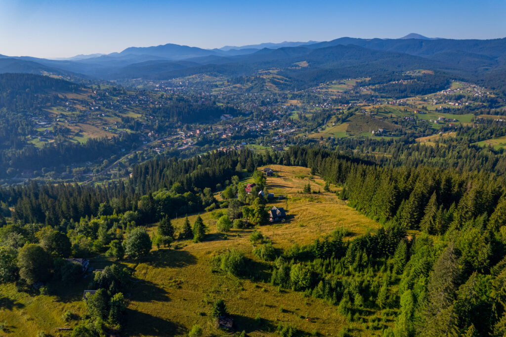
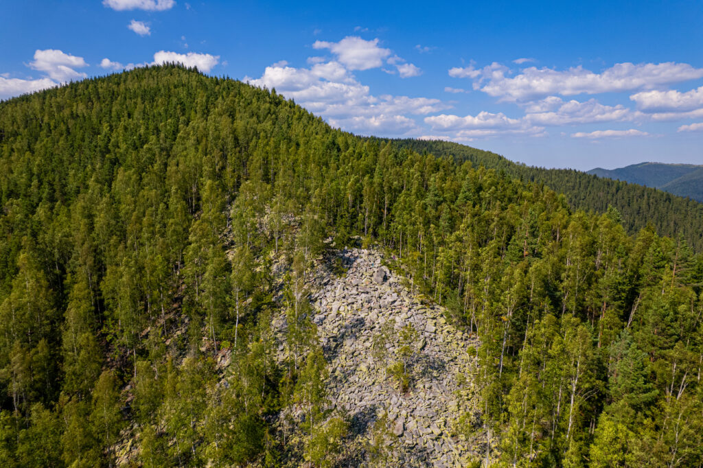
The summit itself is densely covered by Carpathian forest and may seem rather modest compared with the views along the way. The landscape changes continuously as you climb: from the settled valleys of Vorokhta and Tatariv to dense woodland, the mountain ridge, and open highland scenery.
This makes Magura an excellent choice for hikers looking for a relatively compact yet rewarding mountain route.
Three Routes to Magura
There are three main approaches to the summit — two from Vorokhta and one from Tatariv. They differ in distance, elevation gain, and the character of the ascent, allowing hikers to choose a route that best suits their pace and level of experience.
1. Vorokhta Centre — Magura
This is the longest of the three main approaches. The trail gradually leads from the centre of Vorokhta through Carpathian forest to the ridge, offering a clear transition from the village landscape to open mountain terrain.
Distance: 5.5 km
Estimated ascent time: 3 hr
Elevation gain: 710 m
This route is a good choice for those who want a fuller mountain-hiking experience and prefer a more gradual journey from the valley to the ridge.
2. Vorokhta — Hirske Povitrya Sanatorium
This route is shorter in distance but steeper. It gains elevation quickly, passes through the forest, and reaches the ridge over a relatively short distance. For this reason, the shorter route should not necessarily be considered the easier one.
Distance: 3.5 km
Estimated ascent time: 2 hr 15 min
Elevation gain: 670 m
It is well suited to hikers who are comfortable with a more intensive climb and want to reach the upper section of the route more quickly.
3. Tatariv — Magura
The route from Tatariv offers a more gradual approach. The trail passes through quiet Carpathian forest and steadily climbs towards the ridge and panoramic sections.
Distance: 4.5 km
Estimated ascent time: 2 hr 20 min
Elevation gain: approximately 560 m
This route is a good option for those who prefer a steadier pace and a more gradual ascent.
Choose Your Own Way Back
One of the advantages of hiking Magura is that you do not have to return by the same route.
- to Vorokhta Centre — 5.5 km, approximately 2 hr;
- to Hirske Povitrya Sanatorium in Vorokhta — 3.5 km, approximately 1 hr 20 min;
- to Tatariv — 4.5 km, approximately 1 hr 30 min.
This means that Magura can be enjoyed not only as an out-and-back hike, but also as a point-to-point route between Vorokhta and Tatariv.
Before You Head into the Mountains
Magura is suitable for a day hike, but it is still a mountain route with considerable elevation gain and several steep sections.
- check the weather forecast;
- carry enough drinking water;
- wear suitable hiking footwear;
- fully charge your phone;
- stay on the marked trail;
- leave no litter and do not light fires outside designated areas;
- choose a safe route back if the weather deteriorates.
In case of an emergency, call 112.
Magura — Where the Journey Matters as Much as the Summit
You do not have to wait until the final metres of the climb to experience the Carpathians at their best. Magura reveals itself gradually — through forest, silence, steep climbs, the ridge, and wide mountain panoramas.
And perhaps that is its greatest appeal: everyone can choose their own route, but each one offers a different perspective on Vorokhta, Tatariv, and the surrounding Carpathian Mountains.